A river-sized lake in three deserts
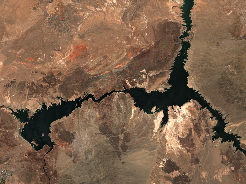
Lake Mead impounds the Colorado River above Hoover Dam, extending about 110 miles upstream toward the Grand Canyon and roughly 35 miles up the Virgin River, according to the Bureau of Reclamation’s Lake Mead FAQ. The Reclamation page says the reservoir covers about 158,500 acres at elevation 1,221.4 feet, holds 28,945,000 acre-feet of water, and loses about 800,000 acre-feet a year to evaporation. The Bureau built the dam, and the National Park Service runs recreation on the water as part of Lake Mead National Recreation Area, which includes Lake Mohave below the dam. The NPS’s history of the park says the reservoir was named for Elwood Mead, the Bureau of Reclamation commissioner at the time, and that the park became the nation’s first national recreation area in 1964.
The width varies from a few hundred feet in the canyons to a maximum of eight miles, per the Bureau’s page. In a landscape the NPS describes as the meeting point of three separate deserts, that contrast of red rock and blue water is why the Reclamation page calls it one of America’s most popular recreation areas, with more than 9 million visitors a year.
Fishing a two-state lake
The National Park Service’s fishing page says Lake Mead is famous for striped bass, with occasional catches over 40 pounds, and lists rainbow trout, catfish, sunfish, largemouth bass, smallmouth bass and crappie among the popular species. It notes rainbow trout are routinely released near Willow Beach on Fridays, and it points anglers to the Nevada and Arizona state agencies for weekly reports and current regulations, because the park lies within two states and each sets its own rules.
The NPS page also flags protected fish: razorback sucker and bonytail chub are part of the Colorado River system, and if caught they should be returned to the water and the catch reported to the park’s Resource Management office. Fishing is not allowed within posted hatchery boundaries, immediately above and below Hoover Dam, or inside the flat wake buoys around marinas and harbors, and not from marina piers.
Where the water meets the desert
The park’s own facilities run the length of the reservoir. Echo Bay Campground sits at the northern end along the Overton Arm and, per its Recreation.gov listing, is open year-round with paved sites for tents and RVs; its listing also notes summers there regularly pass 100 degrees Fahrenheit, with lows near freezing December through February. Callville Bay Campground is on the Las Vegas side, minutes from the town of Las Vegas. Reservations, fees and seasonal access change, so confirm them on the Recreation.gov listing before you go.
Summer heat is the planning constraint, not water. The NPS plan your visit page describes daytime highs of 89 to 103 degrees in summer, up to 117 degrees in the shade of the hottest stretches, and warns summer can be dangerous due to excessive heat.
Living with a lake that moves
The lake you see depends on the river above it. The Reclamation FAQ explains how the reservoir’s capacity is allotted below the high-water line: roughly 1.5 million acre-feet reserved for flood control, about 2.5 million for sedimentation control, about 18.4 million for joint use (flood control, municipal and industrial water, irrigation and power) and about 7.7 million of inactive storage. The Bureau also notes that since Glen Canyon Dam came online about 370 miles upstream, roughly 370 miles of Colorado River sediment no longer reach the lake, which it says gives Lake Mead an indefinite life despite early sedimentation of about 91,000 acre-feet a year.
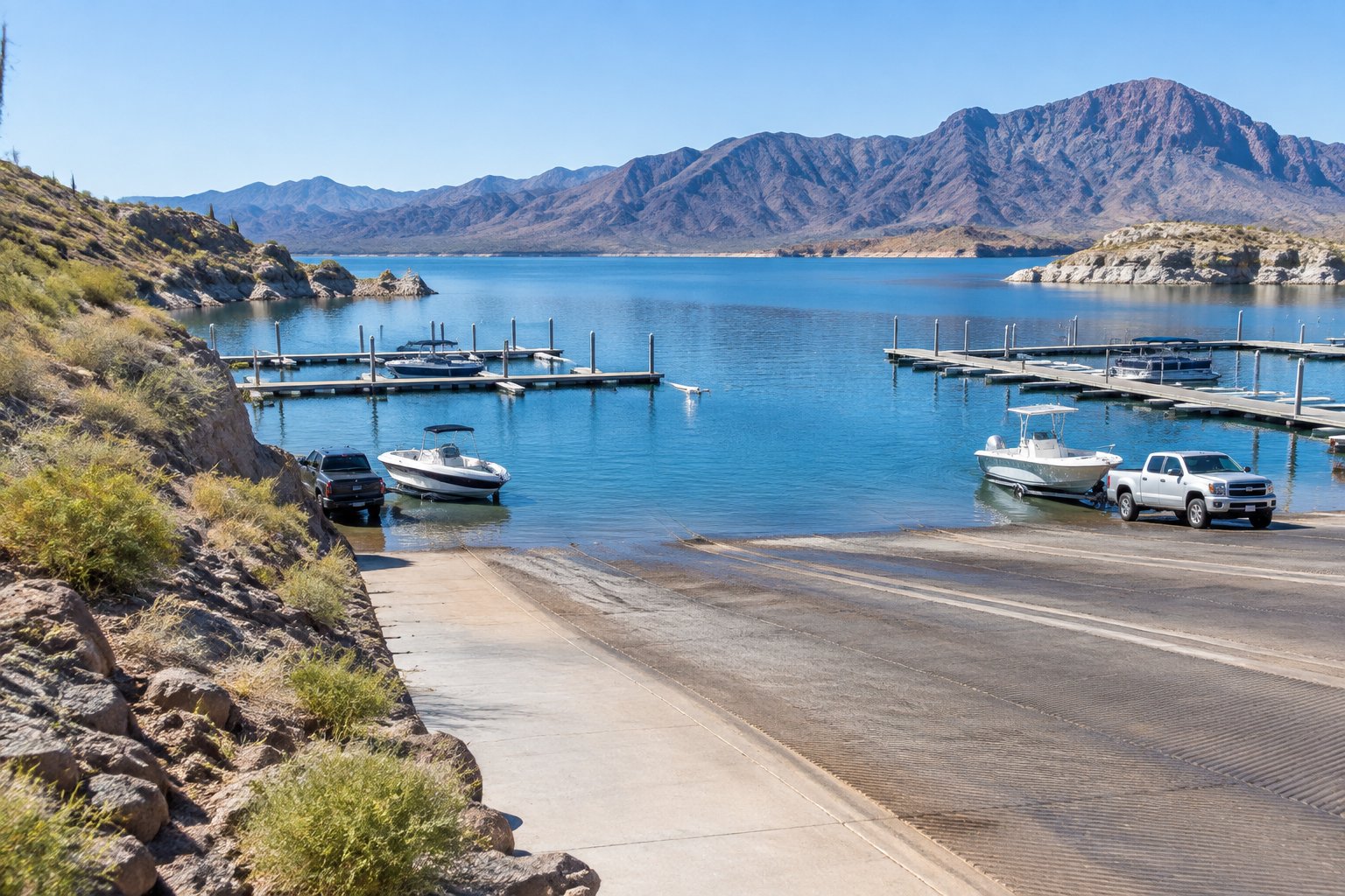
Practical takeaway for a boater: the shoreline changes, the recreation areas are laid out for the high-water line, and ramp usability shifts with the level. Check the current level on the water-level page before you plan a trip, and confirm ramp access with the specific Recreation.gov facility you intend to use.
Sources reviewed October 2026. Check current levels and operator notices before visiting.