
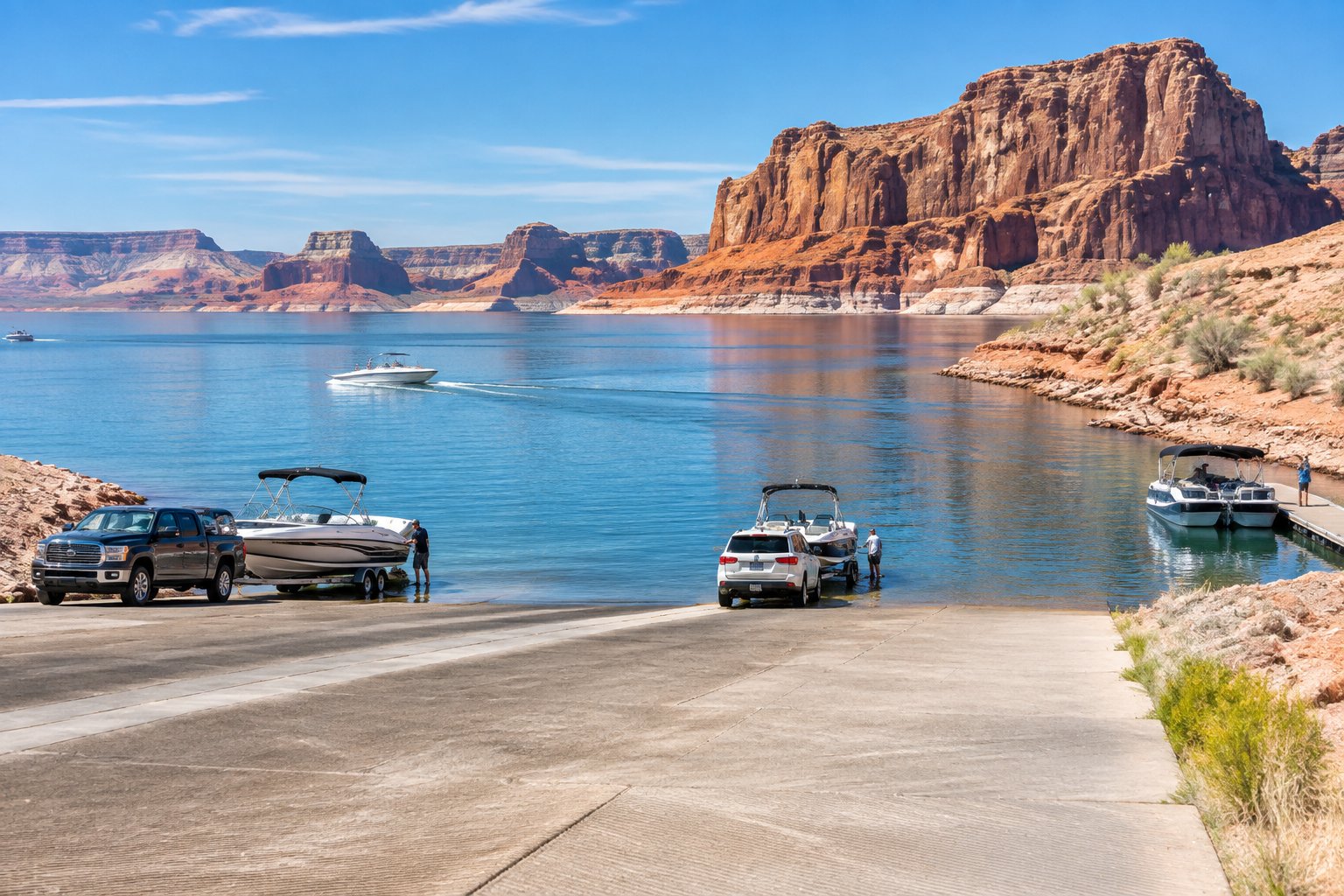
Lake Powell Boat Ramps: Check NPS Status for 2026
If you're towing a boat to Lake Powell, check the latest NPS ramp status and UDOT ferry notice before choosing a launch or cross-lake route.
U.S. Bureau of Reclamation • Dam completed 1963 • 1960 miles of shoreline
Each site below links to the official listing it came from. Ramp closures depend on each ramp's design and the lake level, and most operators don't publish them in real time, so confirm with U.S. Bureau of Reclamation before you launch.
While the Antelope Point RV park is not physically within the boundaries of Glen Canyon National Recreation Area, it is operated by Antelope Point Marina. Make your reservation with them at https://antelopepointlakepowel...
No reservations. $14 per night. 21 designated sites. Across the highway from Wahweap South Entrance. Picnic table at each site. No hookups or dump stations. Pack it in, pack it out. No campfires or glass containers. Thre...
No reservations. Along the fifteen mile stretch of the Colorado River between Glen Canyon Dam and Lees Ferry, there are five primitive beaches set aside for camping, marked with signs, on a first-come, first-served basis...
An official visitor center for the state of Arizona, and acting as Glen Canyon's supplementary visitor center in Page AZ, the Flagship office and retail store is a great place to start your Glen Canyon adventure. Our par...
No reservations. $14 per vehicle/per night in addition to entry fees. Primitive camping is on a sandy beach or in dunes. No designated campsites. Maximum two vehicles per site. Open fires permitted, must be within four-f...
Operated by Lake Powell Resors & Marinas. 112 dry campsites (no hook-ups), 90 full hook-ups, and 6 group camping sites. Facilities include restrooms, laundry, showers, store, phones, dump station and potable water. The a...
Main visitor center for Glen Canyon National Recreation Area and Rainbow Bridge National Monument. Exhibits about recreation and historic water use. Tours of Glen Canyon Dam are closed. Movies in auditorium. Store operat...
Waning Crescent (20% illuminated); strongest solunar period: Moon Overhead 7:41 AM–9:41 AM MST; lake at 3534.40 ft, 165.6 ft below full pool, up 1.10 ft in 24 hours.
Limits, licenses, and boating requirements change often, and border lakes can have their own rules. Check the current official rules before fishing or boating on Lake Powell:
Seen a hazard, a ramp closure, or changing water clarity? Reports go to LakeWatchers for review.
Tell us about water clarity, ramp conditions, or hazards. We review reports and use them to correct the information on this page.
A true-colour image from the most recent low-cloud Sentinel-2 pass over the lake. It shows the lake as it looked on the capture date, not today.
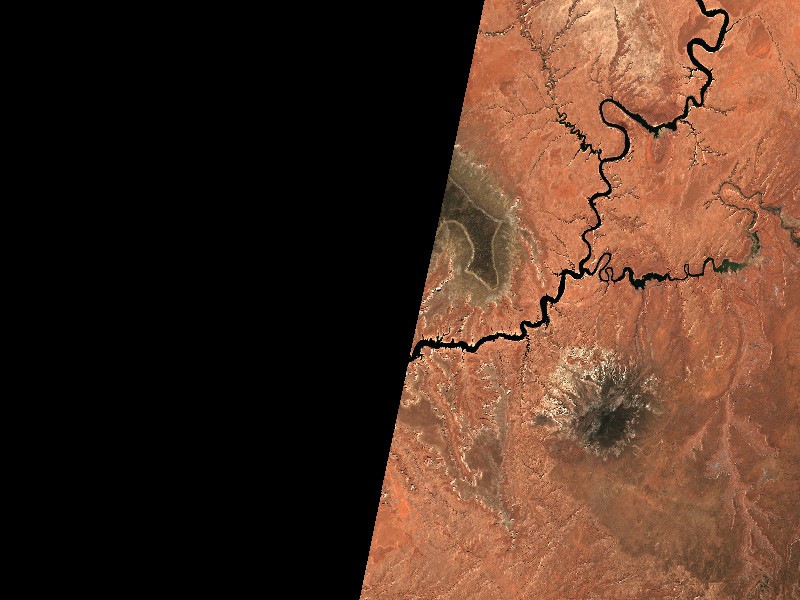
Contains modified Copernicus Sentinel data 2026, processed via the Copernicus Data Space Ecosystem.
Marinas from official listings, plus open spots for local guides and rental operators.
Are you a licensed fishing guide or charter captain on Lake Powell? Feature your guide service on the Lake Powell page next to its fishing section.
Connect directly with lake homeowners and visiting boaters searching for pontoon rentals, boat slips, dry storage, and marine service.
Shoreline and docks. Shoreline use on Lake Powell is managed by U.S. Bureau of Reclamation. Whether private docks are allowed, and where, depends on that operator's shoreline rules. Before making an offer on waterfront property, confirm with the operator whether a dock permit exists and whether it transfers to a new owner.
Flood pool and easements. Property near the water may carry flowage easements that limit building below a set elevation. Check the deed, a survey and the operator's rules before buying.
Nearby towns. Page, AZ, Big Water, UT. Property taxes, utilities, HOA covenants and short-term rental rules vary between towns and counties.
Considering a lake cabin, waterfront home, or retirement property on Lake Powell? Water levels, dock permits, and flood pool limits all affect waterfront property, so review them before you buy.
In-depth boater navigation, local angling tactics, and trip preparation from regional experts.
If you're towing a boat to Lake Powell, check the latest NPS ramp status and UDOT ferry notice before choosing a launch or cross-lake route.