Built by People Who Actually Live on the Water
Founded on Lake Texoma by boaters, anglers, and outdoor enthusiasts who know that 6 inches of water can make or break your day.
Why I Started LakeWatchers
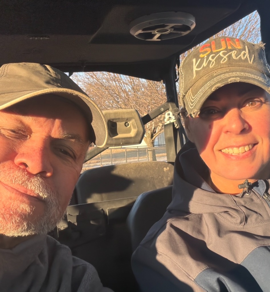
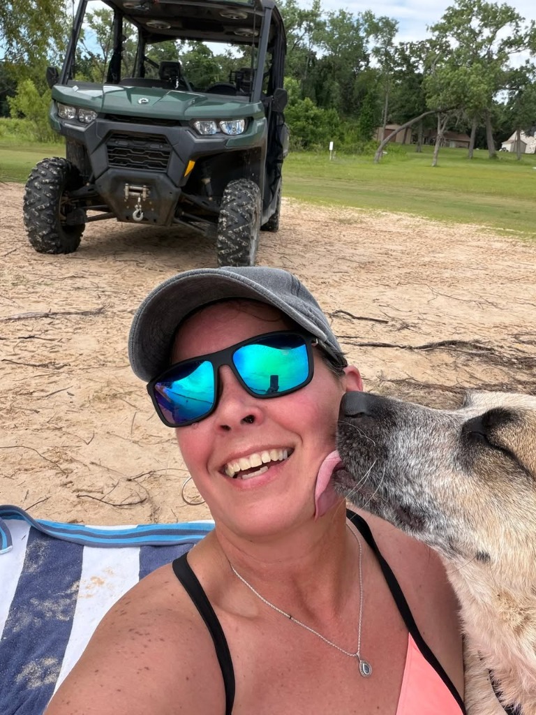
Hi, I’m Ray Roman. My wife Tammy and I live on Lake Texoma, right along the Texas and Oklahoma state line.
If you spend any time around Texoma or any major reservoir, you know lake life isn’t just a weekend hobby—it’s how we live. When we’re not working, you’ll find us out on the water boating and chasing striped bass, beached on the islands with friends, or riding our side-by-side (SxS) down backwoods trails, exploring shoreline coves with our dog.
Living on the lake, we check water conditions every single day. But for years, finding clear answers meant wrestling with clunky 1990s-era government websites. You had to dig through confusing tables of Army Corps of Engineers gage heights, hunt down obscure USGS stream numbers, and guess whether the boat ramp at your favorite park was submerged under floodwaters or high and dry on bare gravel.
I built LakeWatchers because I wanted a tool that actually worked for real boaters, anglers, and lake neighbors: clean, fast, and easy to read on your phone with the midday sun glaring off the water.

Our Core Standards: Firsthand Experience + Official Science
Every number, chart, and guide on LakeWatchers is grounded in two essential pillars:
1. Real Firsthand Experience
We don't publish generic fluff or algorithmic slop. Our guides—from cold water survival and fall striper turnover to low-water ramp navigation—are written from real hours spent launching boats, studying contour ledges, and dealing with shifting lake levels firsthand.
2. Authoritative Government Telemetry
We never guess or extrapolate water levels. We query official scientific sensors hourly from the U.S. Army Corps of Engineers (USACE), U.S. Geological Survey (USGS), and NOAA / National Weather Service.
Official Hydrology & Safety Sources
All real-time elevations, flow rates, and water temperatures are verified against authoritative public telemetry:
- US Army Corps of Engineers (USACE) CWMS: Live gage elevations, flood pool margins, storage capacity, and dam tailwater releases.
- US Geological Survey (USGS) NWIS: Calibrated streamflow gaging and instantaneous surface water temperature monitors.
- NOAA / National Weather Service (NWS): Surface wind speeds, gust vectors, and official lake wind hazard advisories.
- State Wildlife & Parks Agencies (ODWC, TPWD, MDC, AGFC, etc.): Concrete boat ramp coordinates, public park amenities, state fish records, and creel regulations.
For full technical documentation, visit our dedicated Data Sources & Attribution page.
Engineered for Harsh Sunlight & Fast Answers
⚡ Zero-Jitter Static Speed
Sub-second page loads without intrusive popups, battery-draining map trackers, or paywalls. Designed to load even with spotty 2-bar cell service at a remote boat ramp.
☀️ High-Contrast Daylight Palette
Engineered with WCAG AAA contrast ratios specifically so you can read water levels, pool differences, and ramp flags under blinding midday glare.
🧭 Actionable Boater Context
A raw number like "619.4 ft" doesn't help until you know what it means: which boat ramps are grounded, where limestone shoals emerge, and how far docks have shifted.
🗺️ Nationwide Waterway Coverage
From our home waters on Texoma across Texas, Oklahoma, and the Ozarks to Lake Powell, Lake Mead, Lake Tahoe, and Lake Lanier.
Have Feedback or a Lake Update?
Notice a boat ramp that's closed for repairs, an unmarked hazard that emerged during low pool, or want to say hello? As fellow lake people, we always appreciate hearing from you.
Send Us a Message →