A long Colorado River reservoir
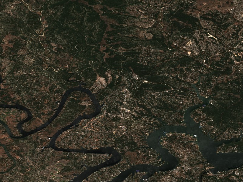
Lake Travis follows the Colorado River northwest of Austin through Travis and Burnet counties. Texas Parks and Wildlife Department (TPWD) lists 1942 as its impoundment year, 18,622 surface acres and the Lower Colorado River Authority as controlling authority. The agency gives 681 feet as conservation pool while cautioning that the lake is usually below it. The dated gauge reading on this page is therefore more useful for a particular trip than treating conservation pool as a normal daily level.
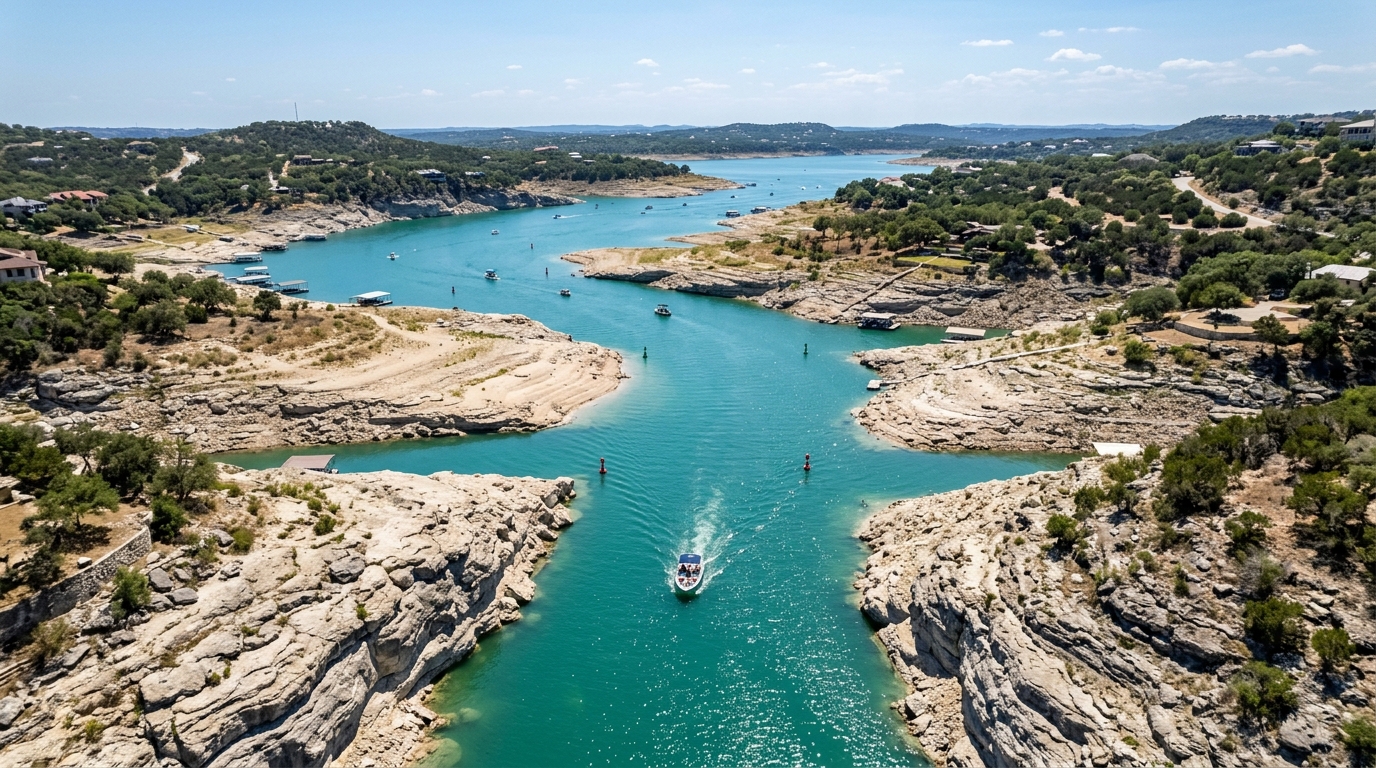
The reservoir’s shape changes the setting along its length. TPWD describes rocky banks, steep cliffs and clearer lower water, with more stained and sometimes flatter-looking reaches upstream. It identifies docks, rock piles, ledges and drop-offs near the lower end and more flooded vegetation in the upper end when water is high. Those are habitat descriptions, not a claim that the same cover is exposed at every elevation. The lake’s level history helps explain why a familiar shoreline or route may look different on a return visit.
Fishing and structure
The TPWD profile identifies largemouth and Guadalupe bass, white and striped bass, catfish and sunfish. It describes spring white-bass runs in major creek arms, the Pedernales River and the upper Colorado River arm. It also notes that the striped-bass fishery is concentrated toward the extreme lower reservoir. These are agency descriptions of recurring patterns, not forecasts of a current catch. Use the current fishing report, dated level and forecast together when deciding where to go.
TPWD describes very little significant aquatic vegetation in its lake profile. That makes rock, docks and depth changes especially prominent in its lower-lake habitat discussion. High water can add flooded shoreline vegetation elsewhere. This distinction matters because a lower-lake plan based on ledges is different from one in a creek arm. TPWD also links current regulations, including special bow-fishing information; check those agency pages for rules rather than relying on an undated summary.
Launches at different elevations
The TPWD access directory lists Mansfield Dam Park near the lower end, Collier Cove in Pace Bend Park and Sandy Creek Park along other reaches. The 2022 fisheries survey records their separate ramp coordinates. Its table also shows that different sites had different closure elevations at the time of survey. Those historical figures should not be treated as current operating thresholds; check the managing agency’s present notice for the specific ramp.
The access overview describes parks run by LCRA and Travis County, with only some offering ramps. It warns visitors through its site-specific descriptions that a park’s amenities and access vary. Pick the shore and intended activity first, then identify a ramp that serves it. A general park listing may include camping or shoreline fishing without guaranteeing a trailer launch.
A current-conditions plan
TPWD posts a zebra-mussel advisory on its lake page; follow the linked agency instructions when moving a boat between waters. For a departure-day check, use the measured level’s timestamp, the current forecast, the relevant county or LCRA park notice, and TPWD’s latest fishing information. This guide supplies the stable geography and documented habitat; the operator determines whether the chosen launch can be used today.
Sources reviewed October 2026. Check current levels and operator notices before visiting.