Understanding Lake Travis Elevation Dynamics
Lake Travis is the primary flood-control and water-storage reservoir for the Highland Lakes chain on the Colorado River, managed by the Lower Colorado River Authority (LCRA). While upper lakes like LBJ and Inks Lake are maintained near constant level, Lake Travis acts as the system buffer, meaning its water level fluctuates dramatically across multi-year rainfall cycles.
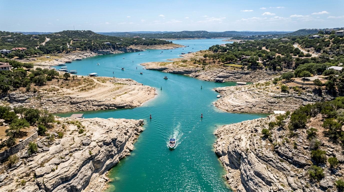
Normal conservation pool is 681.0 feet MSL. During severe Texas droughts (such as 1951, 2011, and 2023), water elevations can drop 30 to 50 feet below normal pool, exposing underwater limestone formations that have grounded dozens of motorized vessels.
Top Submerged Hazards to Avoid Below 650 ft MSL
Public Boat Ramps Usable at Low Pool
Not all concrete boat ramps are constructed to the same depth. Launching at a grounded ramp can result in trailer axle damage:
- Mansfield Dam Park (Deepest Public Ramp): Rebuilt with extended concrete lanes, this ramp remains operational down to approximately 630.0 ft MSL, making it the safest public launching venue during prolonged droughts.
- Pace Bend Park Ramps: North and South boat ramps generally close when water recedes past 650 ft MSL. Always check official Travis County Parks status flags before making the drive.
- Arkansas Bend Park: Closes around 655 ft MSL due to shallow gravel approaches.