
Lake Texoma Things to Do: Water, Parks, and Trips
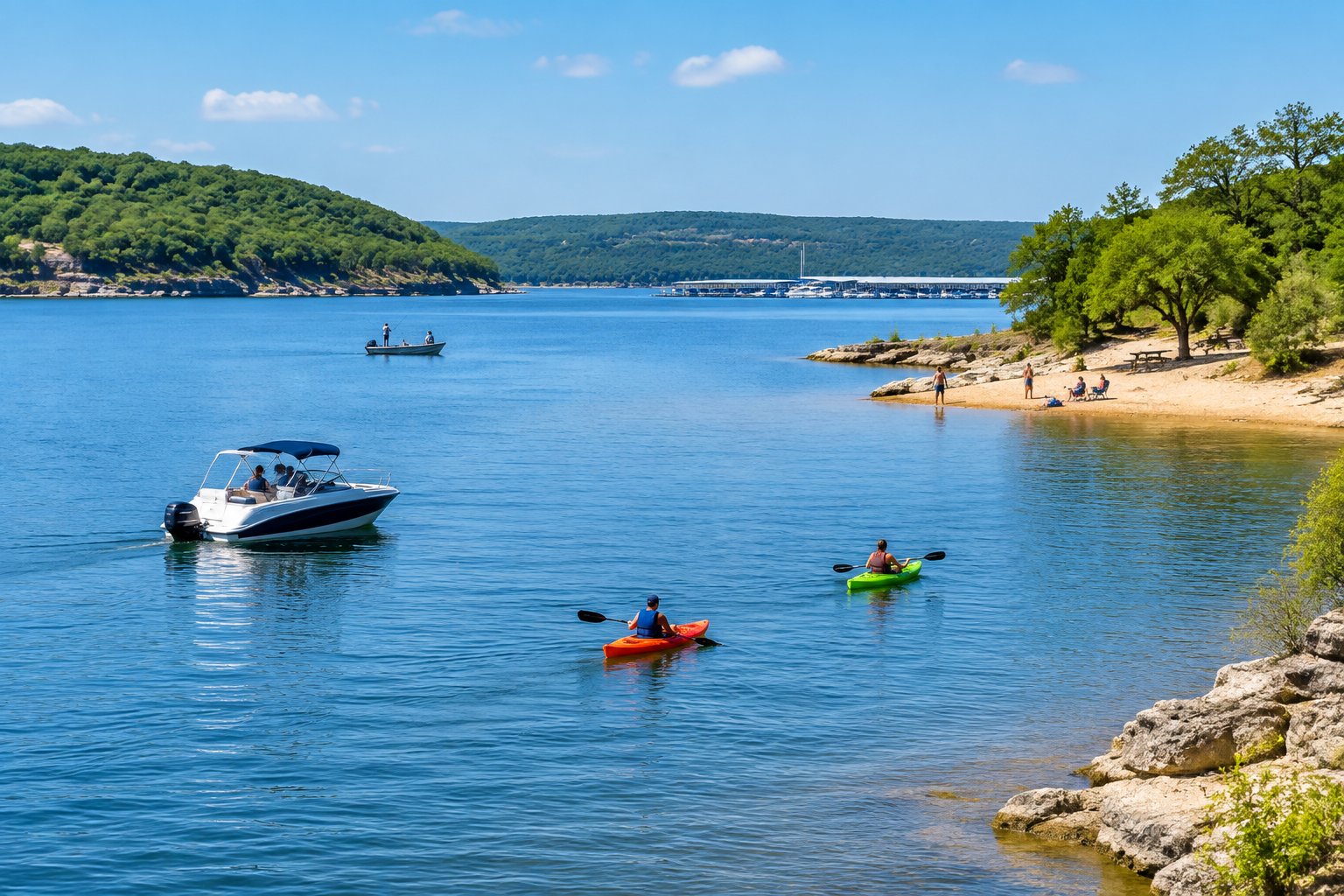
The best things to do at Lake Texoma start on the water: rent a pontoon or book a striper charter, spend an afternoon beached on the islands, and explore Eisenhower State Park trails.
U.S. Army Corps of Engineers, Tulsa District • Impounded 1944 • 89,000 surface acres • 580 miles of shoreline
Lake-specific guide · Agency-sourced
Lake Texoma exists because of Denison Dam on the Red River, not because a natural lake happened to straddle Texas and Oklahoma. The U.S. Army Corps of Engineers’ project history traces the dam’s authorization to the Flood Control Act of 1938 and its completion to 1944. Flood relief was central to the project. The Corps describes a gradual change from a flood-control worksite to a major place for outdoor recreation. That history is worth remembering when planning a visit: this is a managed reservoir, and the shoreline and access conditions are not fixed.
The border matters as much as the dam. Texoma’s Oklahoma and Texas shores offer different places to start, while fishing rules and licensing need a deliberate check before crossing the state line on the water. Treat a day’s route as more than a dot on a lake map: decide where you will launch or walk, which side you may fish, and how you will get back if conditions change.
The Corps describes Texoma as 89,000 surface acres, a reference rather than today’s measured extent. The Texas Parks and Wildlife Department’s lake guide describes normally moderate-to-clear water and relatively little aquatic vegetation. Its list of fish cover includes rocks and boulders, standing timber, stump beds, channels, bluffs, sandy flats and riprap. That variety explains why a plan built around rocky banks is different from one focused on submerged wood or open-water channels. Clarity and depth at any particular spot still depend on current conditions; the agency’s habitat description is not a report for today.
Texoma is not only a boating lake. The Corps’ recreation guide traces the Cross Timbers Hiking Trail from the Juniper Point area along rocky ledges on the southern shoreline. On the Texas side, Eisenhower State Park describes high bluffs, trails and a protected swimming cove. These are two very different ways to experience the shore without assuming that every park has the same facilities. Check the park or trail operator before setting out, particularly after high water or maintenance work.
Striped bass are central to Texoma’s fishing identity: the Corps notes that they reproduce naturally here. TPWD’s fishing guidance associates stripers with river channels and adjacent flats; it points to tributary mouths for migrating white bass, submerged trees and brush for crappie, and shoreline or underwater structure for black bass. These are starting points for choosing water to explore, not a claim that fish are feeding at any particular place or time.
TPWD also describes smallmouth bass habitat around the bluffs near Eisenhower State Park and Denison Dam and along part of the Washita River arm. Anglers seeking a different outing can consider catfish along rocky shorelines and creek mouths. Match the technique and location to the species and cover you want to fish, then check a current agency report and the day’s weather rather than treating an evergreen guide as a forecast.
On the Oklahoma shore, Burns Run East combines campsites with a beach, dock and two boat ramps. Buncombe Creek also lists campsites, a dock and two ramps, but its facility description does not promise a swimming beach. For a Texas-side shore outing, Eisenhower State Park lists two fishing piers, a boat ramp, trails and a swimming cove. Compare those amenities with the trip you actually want: a campsite, a launch, a swim, and a walk are not interchangeable needs.
Reservations and the current status of a specific ramp require a fresh check with its operator. A lake-wide elevation by itself cannot tell you that every launch is usable. Before towing a boat, compare the time-stamped level reading with the Corps’ Texoma notices and confirm the chosen facility’s conditions directly.
A Texas fishing license covers the Texas portion of the lake; TPWD explains that a Lake Texoma license permits fishing across the entire lake. The Oklahoma Department of Wildlife Conservation warns that regulations may differ between the Oklahoma and Texas portions. Check both agencies’ current rules before fishing, especially if a boat trip could cross the boundary; do not rely on an old bag-limit list or an assumed reciprocity rule.
TPWD’s Texoma regulations report zebra mussels in the reservoir and explain the requirement to drain water from boats and onboard containers when leaving or approaching public fresh waters. Clean and dry gear before taking it to another lake, and follow the current state guidance for bait and equipment. Leaving a launch in good condition helps the next visitor, while draining and cleaning reduce the risk of carrying invasive species elsewhere.
Sources reviewed September 2026. Check current levels and operator notices before visiting.
Each site below links to the official listing it came from. Ramp closures depend on each ramp's design and the lake level, and most operators don't publish them in real time, so confirm with U.S. Army Corps of Engineers, Tulsa District before you launch.
Buncombe Creek Campground is located on Lake Texoma in Oklahoma's Cross Timbers Region. The lake is said to be the "Playground of the Southwest," where outdoor activities like fishing, boating, hiking and huntin...
Burns Run East Campground is located on Lake Texoma in Oklahoma's Cross Timbers Region. The lake is said to be the "Playground of the Southwest," where outdoor activities like fishing, boating, hiking and huntin...
Burns Run West Campground is located on Lake Texoma in Oklahoma's Cross Timbers Region. The lake is thought to be the "Playground of the Southwest," where outdoor activities like fishing, boating, hiking, and hu...
Caney Creek Campground is located on Lake Texoma in Oklahoma's Cross Timbers Region. The lake is said to be the "Playground of the Southwest," where outdoor activities like fishing, boating, hiking and hunting a...
Damsite Texas is a relatively small campground which consists of a total of 19 campsites. Each of the campsites do have water and electric. The campground is located right along the Red River which gives easy ac...
Johnson Creek Campground is located on Lake Texoma in Oklahoma's Cross Timbers Region. The lake is said to be the "Playground of the Southwest," where outdoor activities like fishing, boating, hiking and hunting...
The Juniper Point Campground is located on Lake Texoma, in the Cross Timbers region of Texas. The lake is said to be the "Playground of the Southwest," where outdoor activities like fishing, boating, hiking and ...
Lakeside Campground is located on Lake Texoma in Oklahoma's Cross Timbers Region. The lake is said to be the "Playground of the Southwest," where outdoor activities like fishing, boating, hiking and hunting abou...
Platter Flats Campground is located on Lake Texoma in Oklahoma's Cross Timbers Region. The lake is said to be the "Playground of the Southwest," where outdoor activities like fishing, boating, hiking and hunting...
Preston Bend Campground is located on Lake Texoma, in the Cross Timbers region of Texas. The lake is said to be the "Playground of the Southwest," where outdoor activities like fishing, boating, hiking and hunti...
Waning Crescent (20% illuminated); strongest solunar period: Moon Overhead 7:40 AM–9:40 AM CST; lake at 617.23 ft, 0.2 ft above normal pool, steady over 24 hours.
Latest report for Lake Texoma: Oklahoma Department of Wildlife Conservation, Nov 1, 2026 →
Limits, licenses, and boating requirements change often, and border lakes can have their own rules. Check the current official rules before fishing or boating on Lake Texoma:
Seen a hazard, a ramp closure, or changing water clarity? Reports go to LakeWatchers for review.
Tell us about water clarity, ramp conditions, or hazards. We review reports and use them to correct the information on this page.
A true-colour image from the most recent low-cloud Sentinel-2 pass over the lake. It shows the lake as it looked on the capture date, not today.
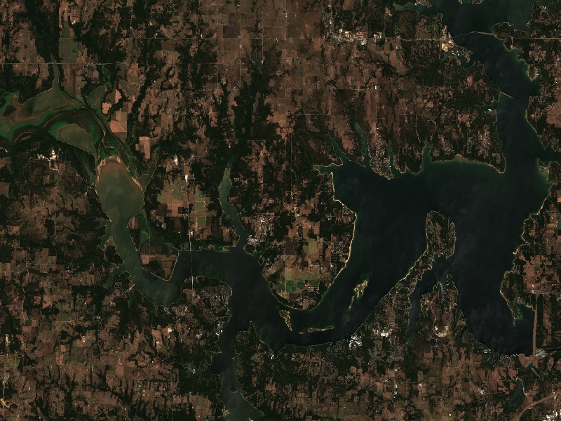
Contains modified Copernicus Sentinel data 2026, processed via the Copernicus Data Space Ecosystem.
Marinas from official listings, plus open spots for local guides and rental operators.
Reach boaters and anglers checking water levels and boat ramp listings before heading to Lake Texoma.
Shoreline and docks. Shoreline use on Lake Texoma is managed by U.S. Army Corps of Engineers, Tulsa District. Whether private docks are allowed, and where, depends on that operator's shoreline rules. Before making an offer on waterfront property, confirm with the operator whether a dock permit exists and whether it transfers to a new owner.
Flood pool and easements. The normal pool is 617.00 ft MSL and the flood pool reaches 640.00 ft MSL, a 23 ft difference. Property near the water may carry flowage easements that limit building below a set elevation. Check the deed, a survey and the operator's rules before buying.
Nearby towns. Kingston, OK, Pottsboro, TX, Denison, TX, Mead, OK, Madill, OK. Property taxes, utilities, HOA covenants and short-term rental rules vary between towns and counties.
Considering a lake cabin, waterfront home, or retirement property on Lake Texoma? Water levels, dock permits, and flood pool limits all affect waterfront property, so review them before you buy.
In-depth boater navigation, local angling tactics, and trip preparation from regional experts.
The best things to do at Lake Texoma start on the water: rent a pontoon or book a striper charter, spend an afternoon beached on the islands, and explore Eisenhower State Park trails.
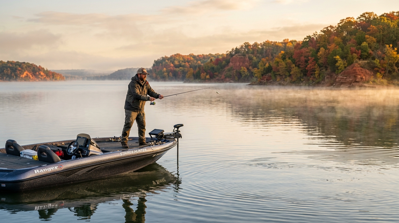
When autumn breezes cool surface waters, vertical turnover redistributes oxygen and disorients baitfish schools. Here is how tournament anglers locate suspended stripers and crappie across the Washita and Red River arms.
Weekend trip planning: Lakes Near Dallas-Fort Worth, TX · Lakes Near Tulsa, OK · Lakes Near Oklahoma City, OK