Lake Lanier is at 1062.58 ft MSL and has fallen 1.35 ft over the past 30 days. The 30-day range was 1062.58 to 1063.90 ft.
The latest reading sits about 45% of the way between the lowest daily archive level since 1989 of 1050.82 ft (Dec 27, 2007) and the highest daily archive level since 1989 of 1076.67 ft (Feb 20, 2020) (U.S. Geological Survey). The lake has 22.4 ft of room before reaching the 1085.00 ft flood pool.
Lake Lanier is operated by U.S. Army Corps of Engineers, Mobile District.
Official daily archive values; gaps indicate missing observations. Daily archive statistics may differ from the latest instantaneous gauge reading.1-year elevation data and sources
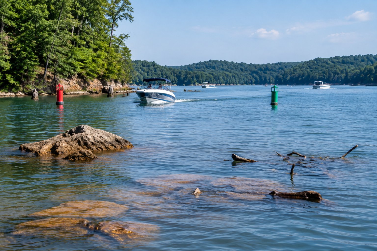
Lake Lanier covers 38,000 acres in North Georgia, with roughly 700 miles of shoreline winding through wooded coves and open water. Understanding Lake Lanier boating hazards before you launch makes the difference between a normal day and an emergency.